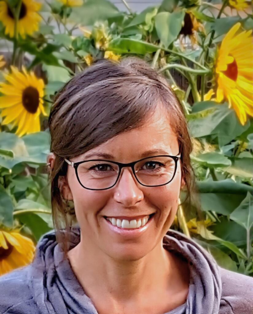
Marisa works with interdisciplinary design teams, non-profits, private landowners, and government agencies across Montana to restore and protect natural water systems. Her project experience includes the design and construction of mine-impacted floodplains, land use–affected streambanks, and wetland creation and restoration in both rural landscapes and urban settings. She brings over 20 years of expertise in ArcGIS to support nearly every aspect of her work, from spatial analysis to the creation of high-quality figures for technical documents, plan sets, and community outreach. Marisa enjoys the diversity of restoration work across Montana’s varied landscapes and values collaboration with project partners and stakeholders. Outside of work, she enjoys exploring her local park along the river and seeking out mountaintop views.
