Mapping & Spatial Analysis
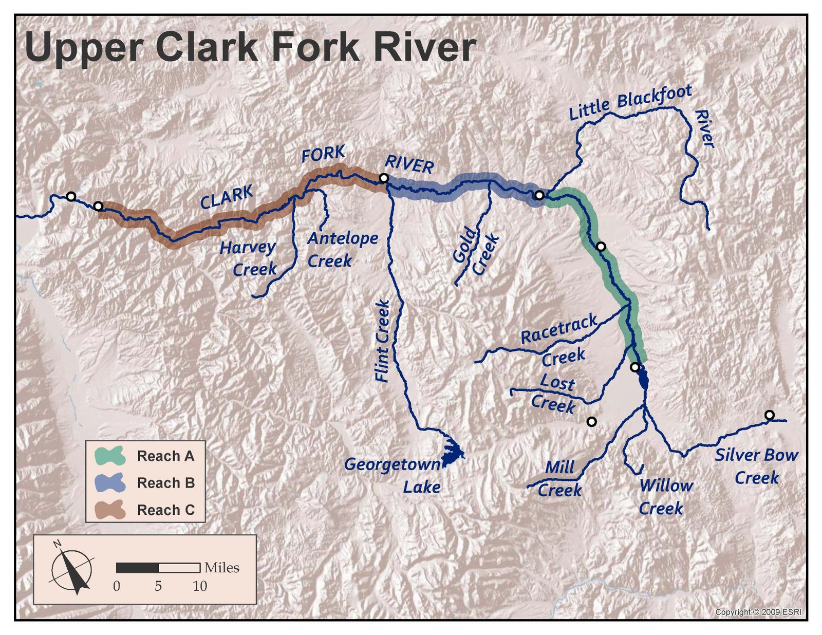
Geum uses Geographic Information Systems (GIS) software to support all aspects of our restoration workflows. Our GIS professionals work with spatial data such as LiDAR, aerial imagery, survey data, and an abundance of publicly available natural resources data sets related to land, water, vegetation and wildlife. Spatial analyses support restoration project designs and are crafted into professional cartography products for project reporting and public outreach. We use ESRI and AutoDesk software for desktop GIS and CAD (Civil3D), maintain legacy database storage for long-term project documentation and reporting, and employ three FAA-licensed drone pilots. Geum is known for producing high-quality mapping products, informative GIS analyses, and quick turn-around drone flights. We have two RTK/X survey-grade GPS setups, and several resource-grade GPS units, along with work flows to quickly turn surveys into maps to support immediate planning needs.